Hiking or trail circuit - between sandstone and granite
- 2h
- 6,9km
- 295m
- Easy
This route allows to discover a part of the forest above Buhl / Lautenbach and passing by the Bannstein pass.
After only 300m, we reach the red round marker, "between sandstone and granite" that we will leave only after completing the loop, to get back to the car.
It can be interesting to perform this track in both directions:
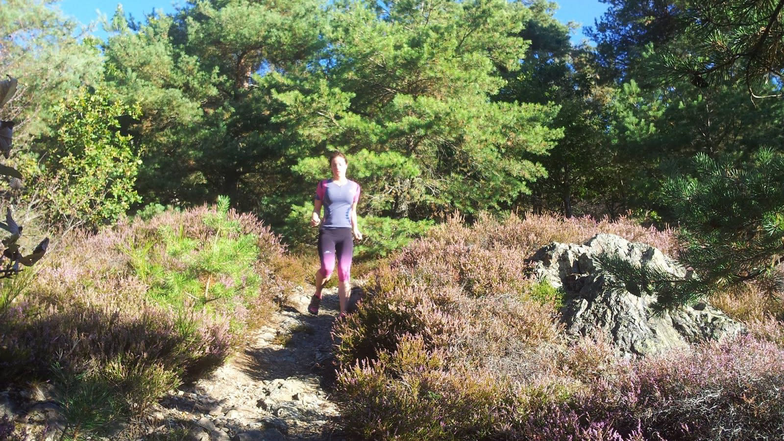
Clockwise: the total height difference is negotiated progressively and allows the walker/trailer to enjoy a nice technical and fun downhill portion starting at km 4.2
.
Anti-clockwise: the difference in altitude arrives after 1.5km and represents a nice ascent for the traileur/walker who wants to work on the hill training.
Beware of the hunting periods and forestry work which are very present in this part of the massif. The paths can be, at times, particularly damaged.
The best times to perform this loop are :
.
- With a light layer of snow
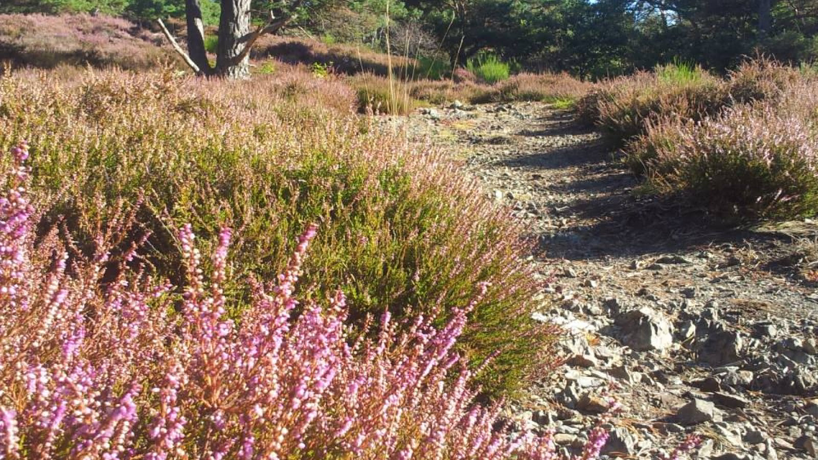
- Depending on the season, you will have the chance to see the different flowers bloom (broom in spring, heather in early September).
Directions:
Starting point: 0km
You start your hike at the "Rue de la Carrière" in Buhl. There is a parking lot along the bicycle path, just behind the former climbing wall.
Bicycle path 0km
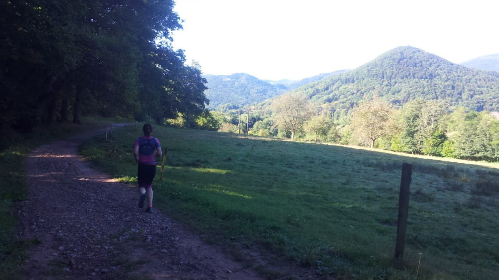
Leave the parking lot by following the cycle path to the north. After 100m follow the cycle path and leave the path which leads you to the right. After 350m you leave the paved road which leads you to the left, as this will be your way back. From here the signs "between sandstone and granite", " entre grès et granit " start, which you follow for about 6km.
>br>
Between sandstone and granite 0.35 km
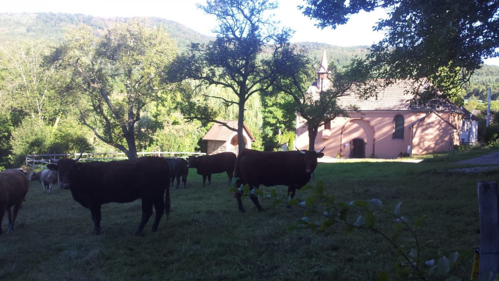
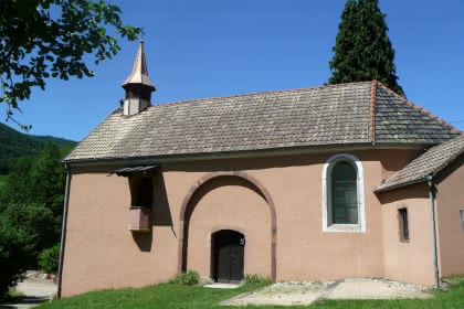
The asphalt road is replaced by a wide path with a slight incline. On your left you will pass fishing ponds as well as the chapel of St. Gangolph.
Forest and high rocks 1,5 km
Go completely into the forest and keep to your right. Now go up to the Hochselfen until you reach the Bannstein mountain pass (2.37 km).
Br> Bannstein Pass 2,37 km Br> Go on the other side of the path and take the path on your left. The signalling should still be clearly visible. After a few small steep slopes you should arrive at the crossroads (3,38 km).
Crossroads 3.38 km
Now take the drivable path and follow the signposting. Follow the path for 1 km along the slope.
Narrow one person trail 4,38 km
Take the narrow trail to your right. After a few bends you leave the forest and come to a field with many plants. Now continue to follow the path. At the end of the path you arrive at Neuberg (Lautenbach) and follow the path down.
Lautenbach / Schweighouse 5,6 km
Now take the road to your left "rue de la vallée". Then take the path in the direction of "Soultzmatt". Continue straight ahead and take the street "rue St Michel". The street you are on will gradually change into a bicycle path, which has a final incline.
Return to the parking lot 6.6 km
Now take the path to your right and follow it until you reach the parking lot.
- Type of hiking trail : dirt path, path
- IGN Map : 3719OT, Grand Ballon, Guebwiller, Munster


