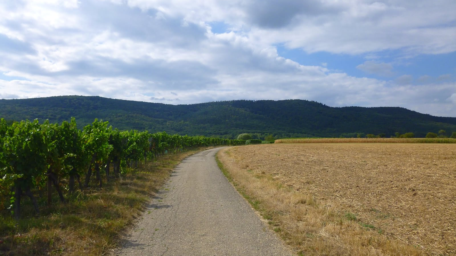
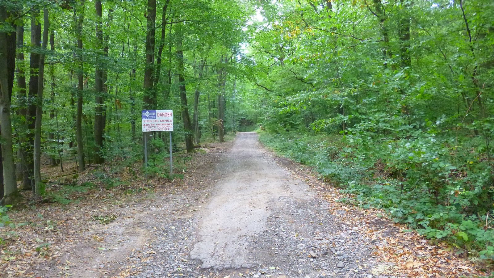
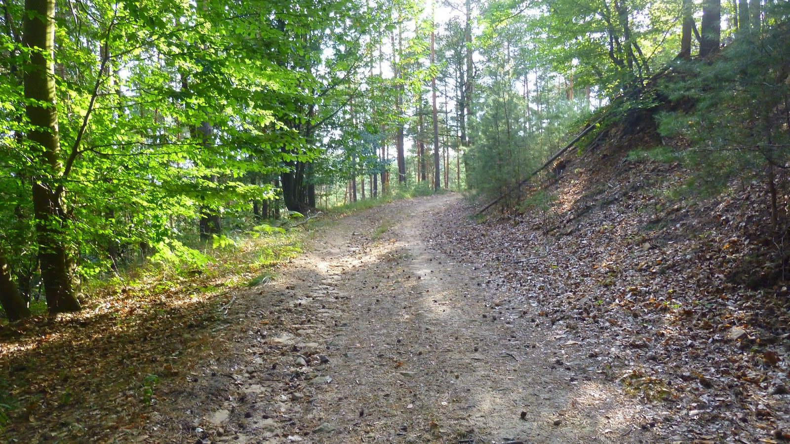
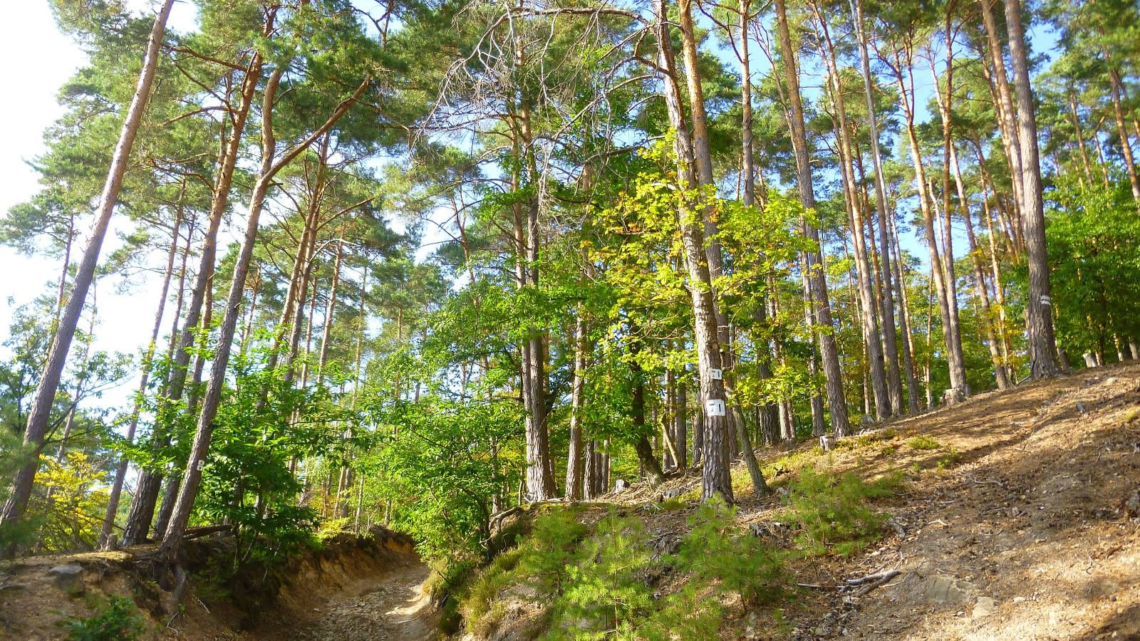
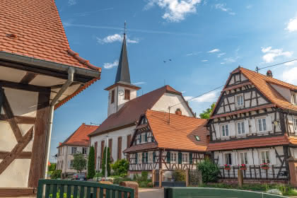
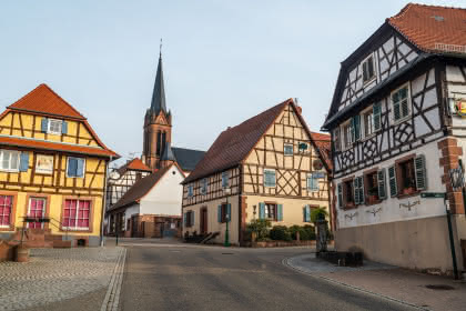
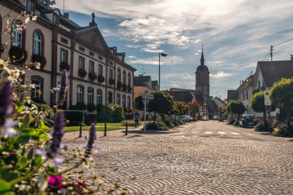
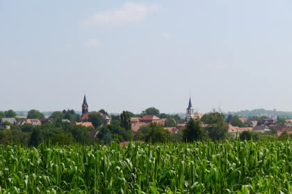
Walking over plains and piedmonts
- 5h
- 17,5km
- 818m
- Challenging
" 
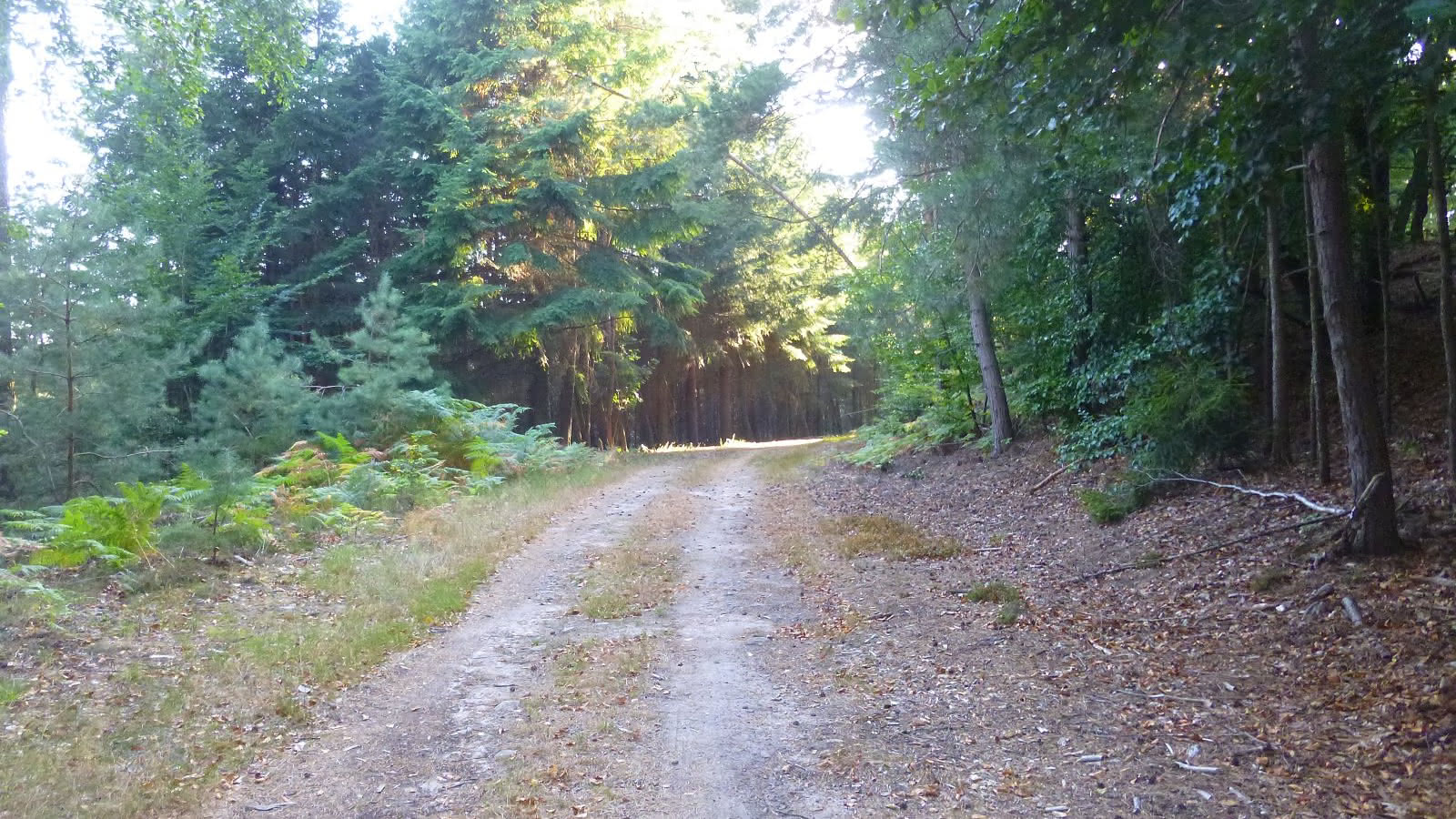
A forest route through plain and piedmont around Drachenbronn whose only difficulty is its length.
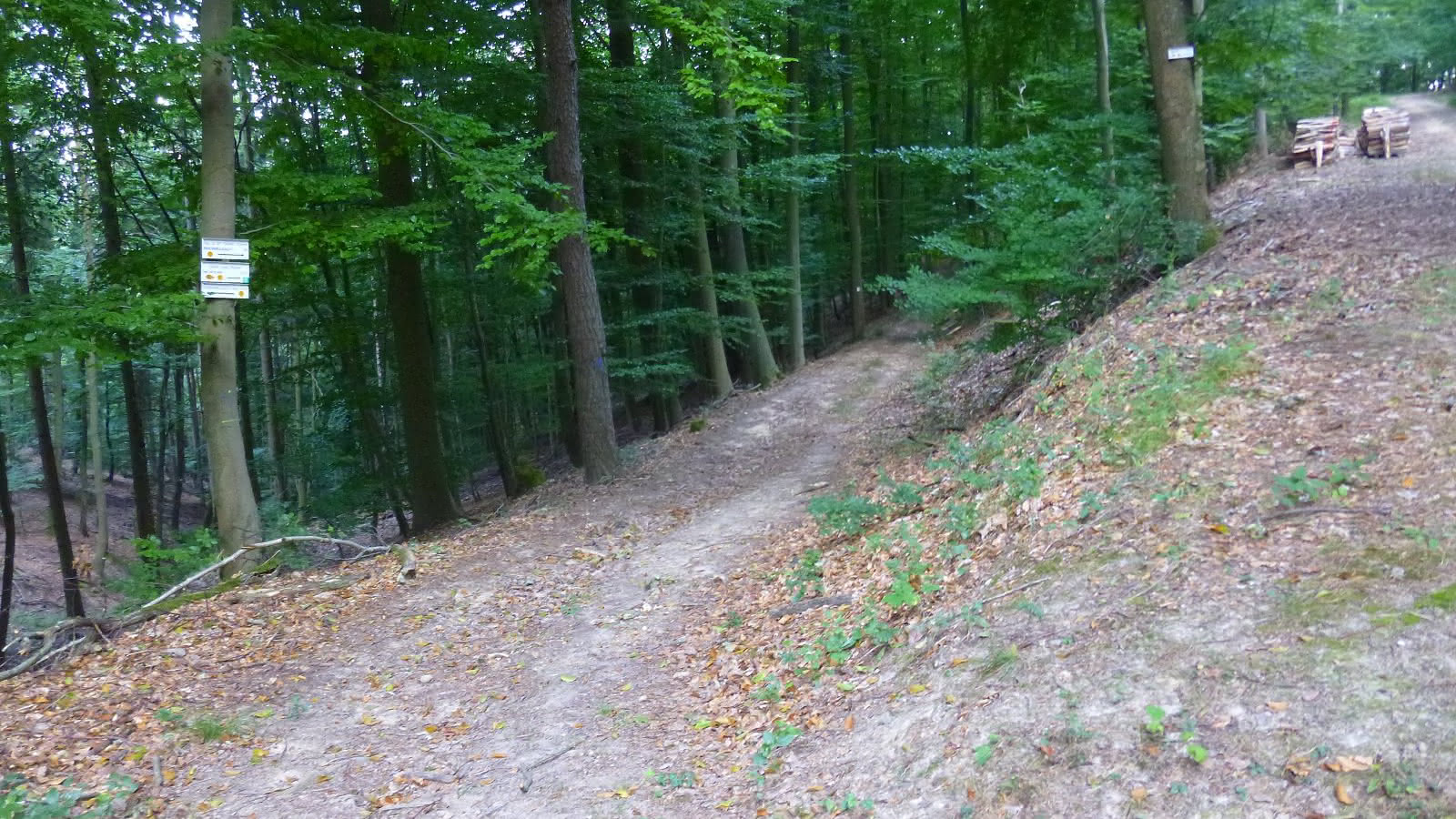
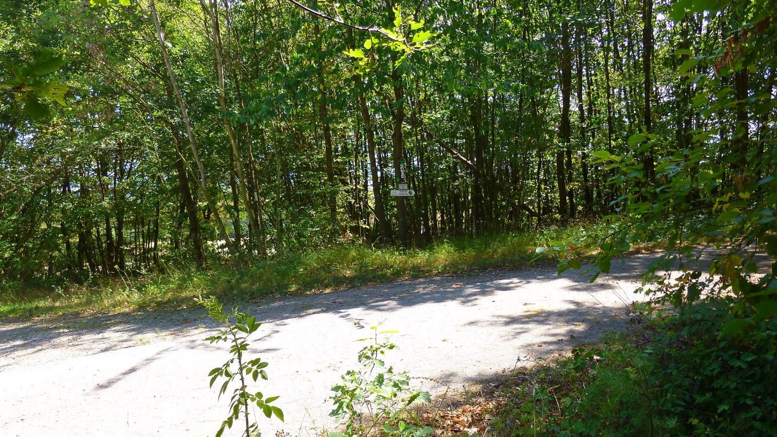
From the car park, cross the D77 and climb the road following the yellow disk and "forest trail".
At the top of the coast, you can see the giant holly, 5 minutes to the right following the green disk. Then go back and follow the yellow disc.Turn right hairpin towards the Moulin des Sept fontaines. At the next intersection, turn right. At the road, follow the sign "forest trail" on the right. Further on, carefully cross the D65 then the D51.In Oelhmuehle, turn left.
At a place called Walkmuehle, follow the yellow drive on the left OR continue straight on an untagged path until you reach the D65. Cross the latter, follow it to the right and turn on the road to the left, just before the brewery.At the intersection, follow the yellow disk to the right.
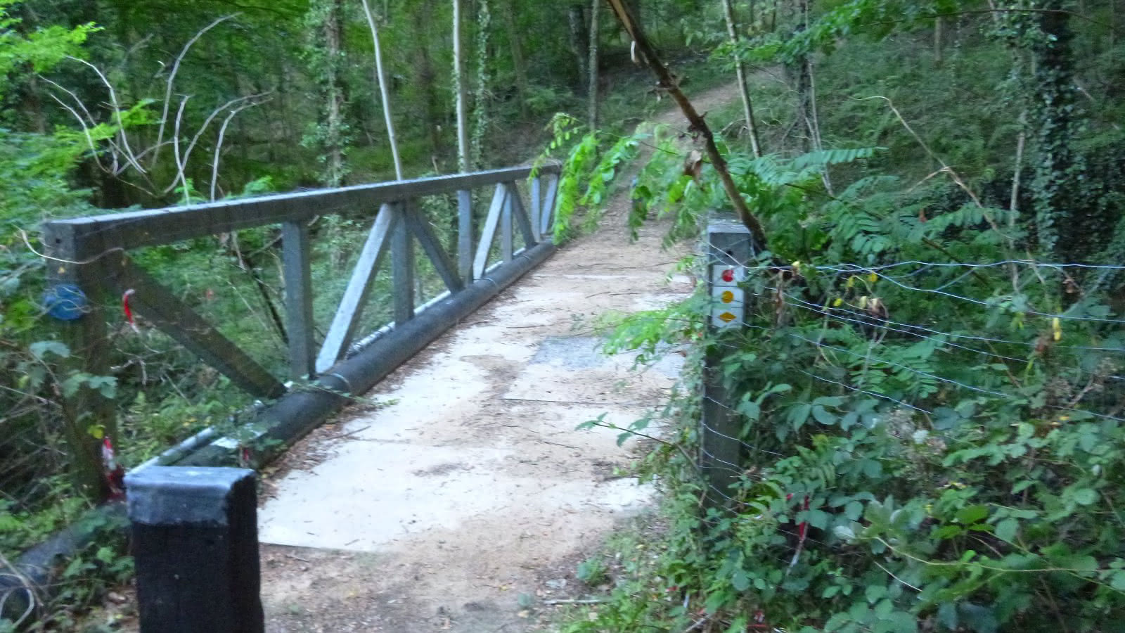
Go straight on at the next intersection and continue to Birlenbach. Turn left on School Street and right on Main Street. Turn left twice towards Birlenbach Castle (Catharinenbourg, destroyed castle). Turn right at the blockhouse, then left on the gravel road.Cross Brummenbach, exit and take the first left.
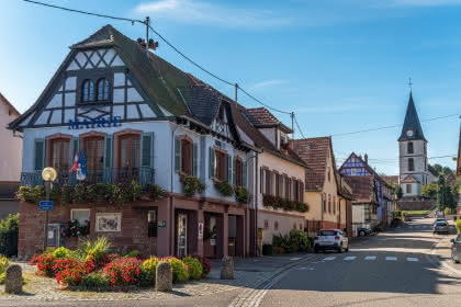
Follow the yellow drive to the D777 and cross it. Continue straight until Cleebourg. Turn left in front of the church, and walk down the main street before turning right onto Wolf Street. Follow the road and then the forest path to the car park.
- Type of hiking trail : paved road, dirt path, path
- IGN Map : 3814 ET, 3814


