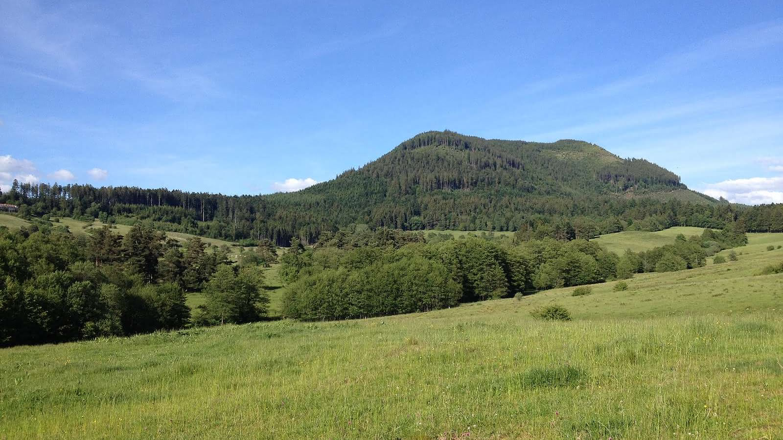
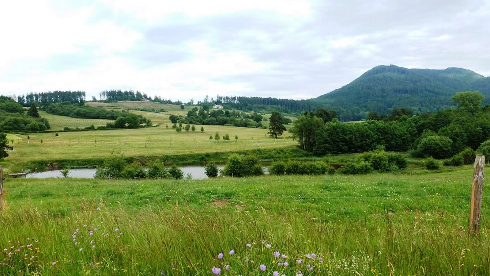
Hiking trail H01: Le Climont and the glade of Hang
- Half-day
- 11km
- 289m
- Intermediate
This walk snakes through a haven of peace and quiet The source of the Bruche is at an altitude of 660m then it runs through a vast basin, the Hang clearing. That's where the glass-making families settled in 1723. The Hang continued to thrive following the arrival of Mennonite farmers from Switzerland. This place was ideal for their pastoral and community life.
Additional information
- IGN Map : N° de la carte : 1/25 000 Bruche 25


